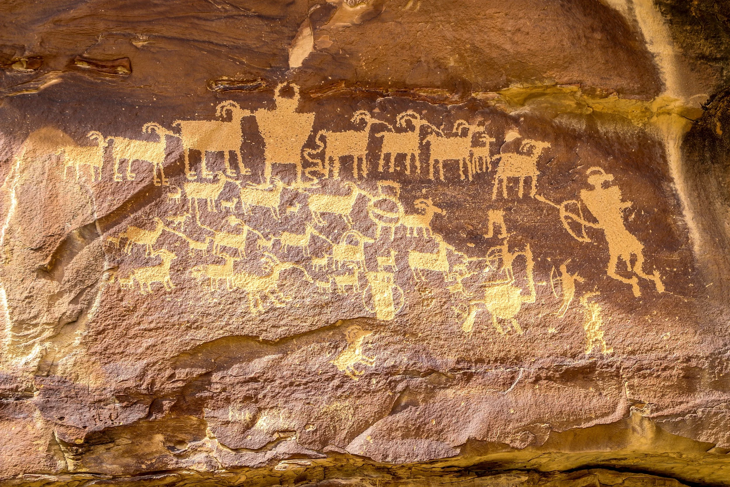
Nine Mile Canyon as often been called “The World’s Longest Art Gallery”. Despite its name, the canyon stretched 46 miles through east central Utah and has as many as 10,000 petroglyphs along its course. This route has been traveled for thousands of years, undoubtedly beginning as a wildlife trail which followed the easiest path through the mountains. It was used by a people we refer to as the Fremont People for many hundreds of years and they are responsible for most of the petroglyphs chipped into the canyon walls. Later, Ute Indians made their way through the canyon and made their own carvings, including those of horses and bison. Fur trappers and settlers followed the old Indian trails. The Nine Mile Canyon Road was originally built by the Black Buffalo Soldiers of the Ninth Cavalry to connect old Fort Duchesne to the railroad at Price. Once the road was complete, stagecoaches started using the canyon to deliver mail and freight and settlements began to spring up. Later, mining and natural gas extraction began in Nine Mile Canyon and continues today. Nobody knows how 46 mile long Nine Mile Canyon was named. Many people believe that explorer John Wesley Powell named it because the name first appears in his journals, but Powell was pretty good at naming things so I’m not buying that explanation. Also, I love a good mystery and don’t mind when one goes unsolved.
I started my drive from Wellington, just south of Price. The road is paved all the way to the Great Hunt Panel (and beyond if you continue up the side canyon), but has a stretch of decently maintained gravel road if you want to continue through to Myton (which I did). I loved seeing so many wonderful petroglyphs in such a small area and I know I only scratched the surface (pun intended) of what was out there. My favorite is the first one pictured below: Coyote Placing the Stars. I also loved the Owl Panel and the Juggling Man and of course the Great Hunt which is one of Utah’s most famous panels. There were a lot of old homesteads along the way and even an old townsite once called Harper but abandoned over a hundred years ago. There are some beautiful new homes out there as well and aside from the mining trucks rumbling past I imagine it’s pretty quiet out there most of the time. I really enjoyed my day out in Nine Mile Canyon and I hope you enjoy these photos I took along the way.
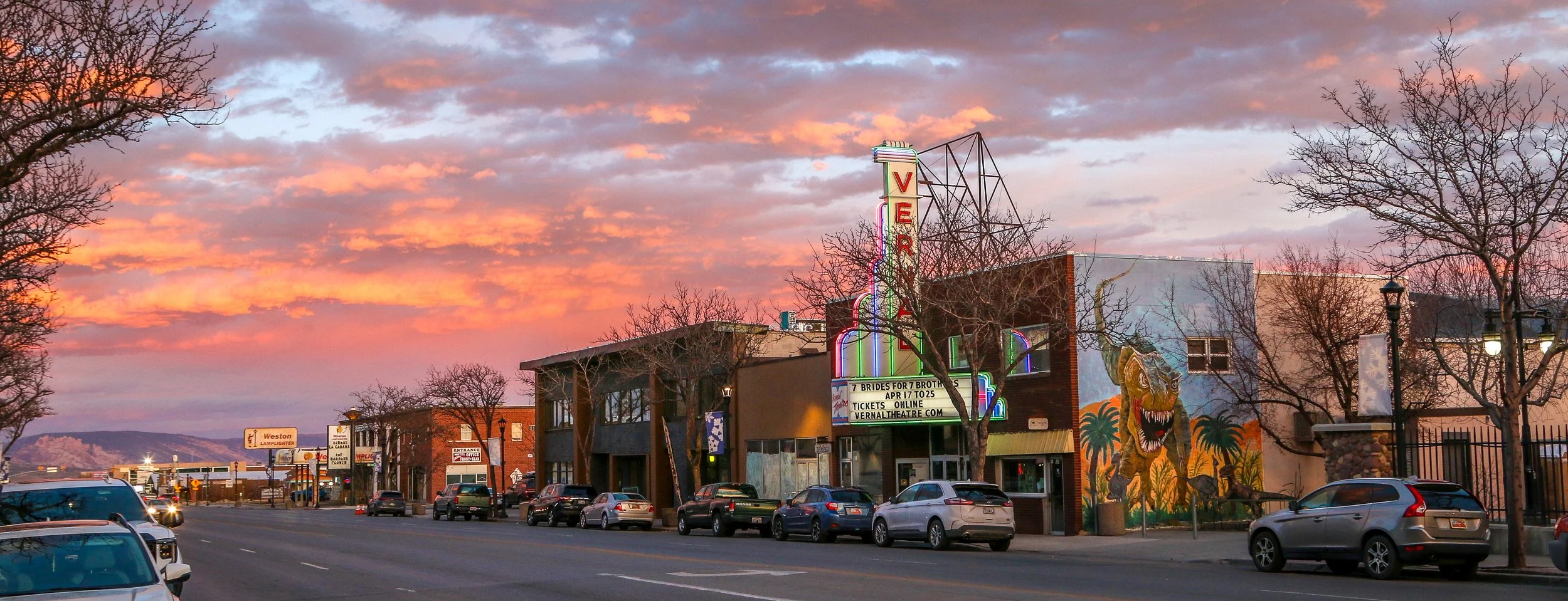
Hello Everyone. A belated Happy St. Patrick’s Day to you all from here in Fillmore, Utah. I’ve spent this last week cutting across the central part of the state, checking out petroglyphs and dinosaur fossils in the east, cruising down the beautiful agricultural region of the Sanpete Valley and finishing up here in Utah’s first territorial capital. It’s been windy out here this week, but the temperatures have been pleasant and the rain and snow have stayed away, which was a good thing as some of these high mountain passes have taken me up above 9000’. Central Utah is definitely a less-visited part of the state, but it has a lot of cute towns, friendly people and plenty to keep me busy. I’ve been moving fast this week because there’s a powwow I want to get to in Salt Lake City this coming weekend and these are all places I wanted to hit before heading in that direction.
When I left you last week, I was out in Grand Junction, Colorado after a quick visit to Colorado National Monument. After I wrapped up my newsletter, I made a beeline back to the Beehive State and headed straight to Green River. I wanted to get there with enough time to see the John Wesley Powell River History Museum. If you don’t know of him, Powell led the first expedition to float the length of Grand Canyon. A retired U.S. Army Major, he had lost his right arm due to a gunshot through the wrist he received during the Battle of Shiloh, one of the bloodiest and most fascinating battles of the Civil War. After the war, he went on to become the curator of a small natural history museum in Illinois and went west to gather some samples for the museum. While there, he became fixated on the idea of exploring Grand Canyon and collected a rag-tag crew of mountain men and explorers to come with him. It was quite the adventure and this museum does a good job of documenting their trip and providing some great information on Powell himself. There are also displays on the geologic and human history of the Green River (which joins the Colorado River in what is now Canyonlands National Park and which Powell floated to get to the Colorado on his journey). In addition to the permanent gallery…
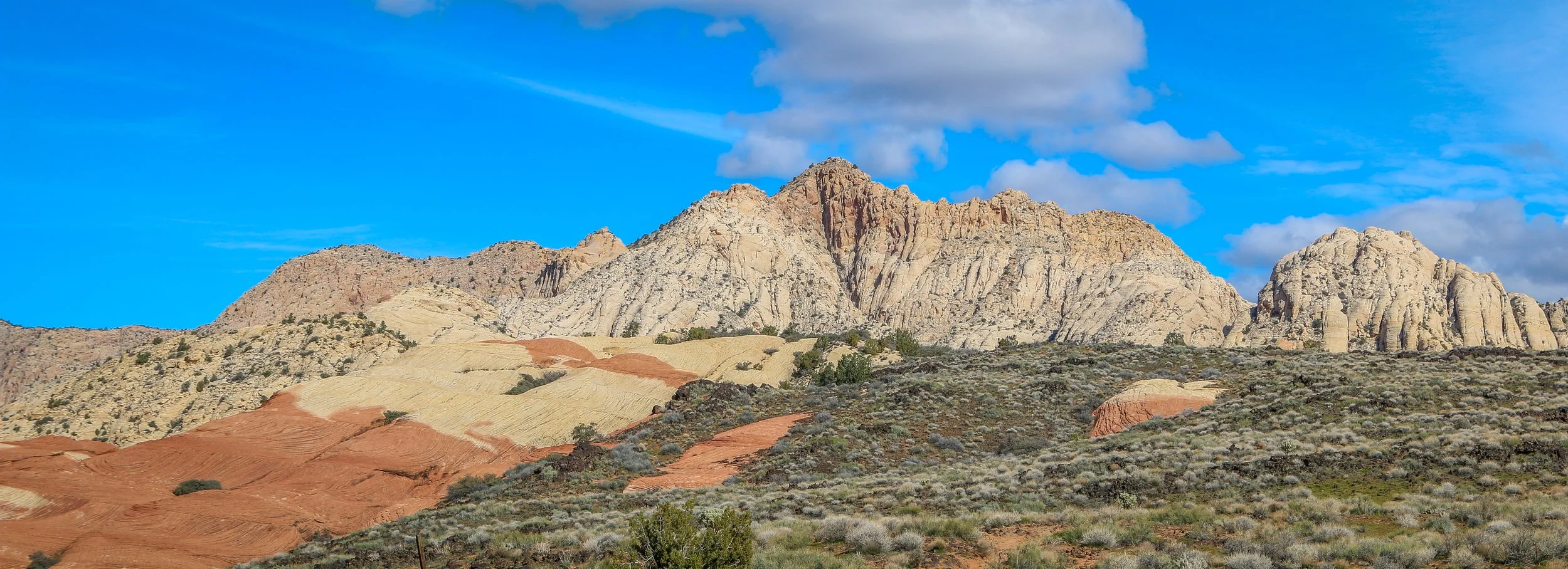
Hello Everyone! It’s been an amazing week out here on the road in southern Utah. I’ve seen some absolutely beautiful country, driven some spectacular roads and visited some amazing archaeological sites. I did have a bit of a stomach bug midweek which wiped me out for a couple of days, but it seems to have passed. The weather has been amazing, the photography opportunities plentiful and it’s just generally been a good week all around.
I left off last week in Panguitch, a cute little town about half an hour west of Bryce Canyon National Park. When I finished up last week’s post, I wandered around town for a bit and then made my way on into the park. I’ve been to Bryce at least 50 times in my life and it never ceases to amaze me. The view from one of the many overlooks on a sunny day will rival any view, anywhere in the world for natural splendor and beauty. It truly is nature’s little fairyland. The sandstone spires of Bryce, called “hoodoos”, are mostly the result of the extreme temperature fluctuations Bryce sees during the year. Located above 8000’, it’s not unusual to have freezing temperatures any day of the year, but it can be sunny and warm and beautiful any day as well. It’s the cycle of freezing and thawing which has helped shape the landscape more than wind or flowing water. Bryce Canyon is named after Ebenezer Bryce, who you may remember built the Pine Valley Chapel which I wrote about two weeks ago. He and his wife homesteaded in the area in the 1870s and he spent many months digging a canal to funnel the water to the valley below. When asked about the canyon which would forever bear his name, Bryce was once quoted as saying “it’s a hell of a place to lose a cow”. It most certainly would be. It was quite icy out on the trails this time through, so I settled for a few nice views from the rim. After the sun went down I enjoyed a warm seat by the fire out at Ruby’s Inn, just outside the entrance to the park, where I read my book for a while before calling it a night.
Hello Everyone!
It’s been an interesting first week here in Utah. I’ve visited some absolutely beautiful places, learned some fascinating history, and generally had a really good time. Utah is a tremendous contrast to Nevada in so many ways. The landscape is on a smaller scale with more canyons and valleys, buttes and mesas and fewer vast stretches of open desert surrounded by imposing mountain ranges. Culturally, Utah is a predominantly Mormon state so it is more modest and conservative than Nevada (in a cultural sense, not necessarily a political one as Utah is also very conservative politically). Mormons are also very serious about preserving their culture and history, especially from the pioneer days which they consider pre-1869 which was when the railroad across Utah was completed. Because of this there is a tremendous amount of information available and the Daughters of Utah Pioneers have some wonderful museums to display items from Utah’s history. Bars are few and far between and with the exception of a few drinks on Mardi Gras Day, I’ve been sober since I arrived in the Beehive State which is a good thing. But also, I haven’t been bored as there are actually things to do at night here which don’t involve alcohol which I’ve really been enjoying. The weather has gone from hot and sunny to blustery and snowy and I haven’t traveled in more than about 60 miles from the border where I entered the state. All in all, it’s been a fascinating week which has really reinvigorated my journey, so let me tell you all about it.
The Three Rivers Petroglyph site offers an amazing look into the ancient rock carvings of the Jornada Mogollon people. These rock carvings, created between 900 and 1400 AD, are scattered across a boulder field in the Chihuahuan Desert between the San Andres and Sacramento Mountains. There are over 20,000 recorded petroglyphs in this area, making it one of the most prolific petroglyph sites in the country. While nobody knows the exact meaning of these chiseled carvings, some of the more recognizable animals and birds offer a glimpse into what these ancient people found important. Located 17 miles north of Tularosa and 28 miles south of Carrizozo, this site, managed by the Bureau of Land Management, makes an excellent detour. There is a $5 admission fee to the site, but it is federal land so all National Park passes are also accepted. You could make the one mile out-and-back hike in under an hour, but the longer you stay, the more you will see. I hope you enjoy these photos of a tiny fraction of the carvings at the Three Rivers Petroglyph Site.
Hawai’i Volcanoes National Park is a wonderful park full of contrasts on the Big Island of Hawaii. The volcanic landscape seems so harsh and inhospitable and yet beautiful plants and delicate flowers are everywhere within the park. I was very happy to make four visits to this wonderful park during my month in Hawaii and each brought new insights into this amazing park. The Kilauea Iki hike brought us all the way down into this crater to explore the area where just last year a lake of lava could be seen. The Chain of Craters Road took us through incredible volcanic landscapes full of Ohia Lehua trees and lava formations. The Holei Sea Arch at the end of the road was incredible to sit and watch as powerful waves crashed into it and sprayed us on the rocks above. Ancient petroglyphs at Pu’u Loa provided some small insight into what life was like for Native Hawaiians who lived in the area. They buried their children’s umbilical cords here to connect them to the land. While there is currently no flowing lava to see in the park (a huge disappointment for this photographer), it is still a magnificent park with a lot to offer. While I enjoyed many things about Hawaii, this amazing National Park was definitely a highlight. I hope you enjoy these photos from Hawai’i Volcanoes National Park.