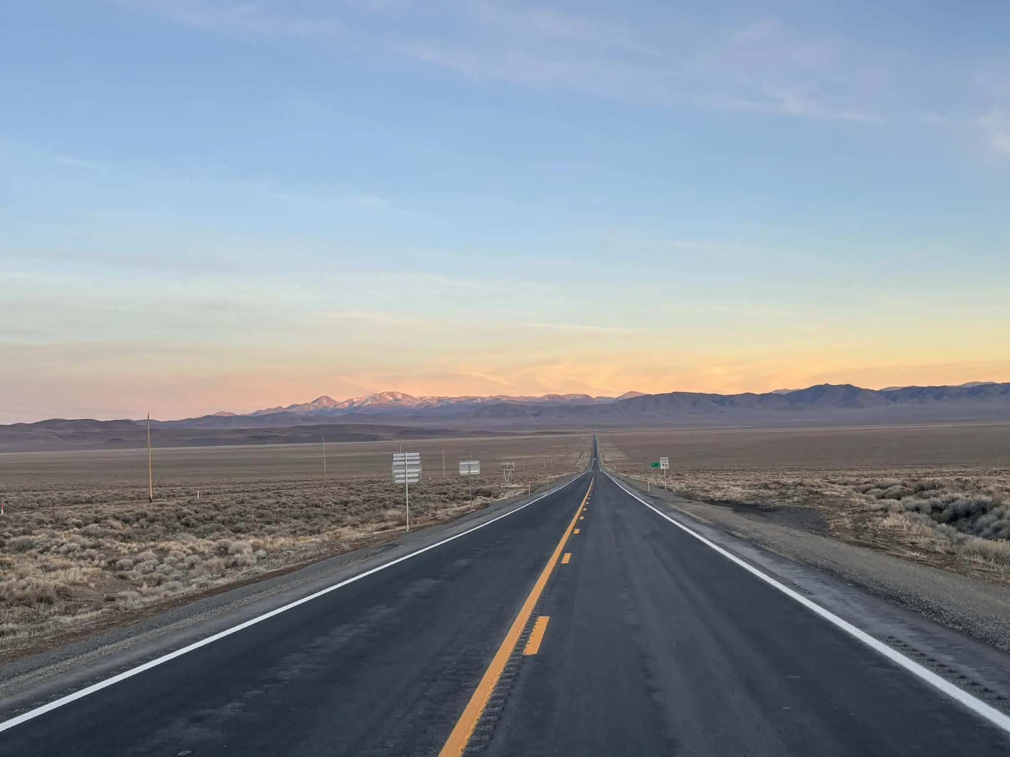
The Lincoln Highway was the original road-tripping route across the country. Dedicated on Halloween, 1913, the Lincoln Highway stretched 3,389 miles from Times Square in New York City to Lincoln Square in San Francisco. It was really the first transcontinental route designed specifically for automobiles and became known as The Main Street Across America. The stretch of the Lincoln Highway that crossed Nevada was planned along a well-trodden path. This route had previously served as a stagecoach route, the main trail for the Pony Express and the transcontinental telegraph also ran along this path. Many years after the highway was built, in 1986, Life magazine called this stretch of road across Nevada “The Loneliest Road in America”, and that wasn’t meant as a compliment. Nevadans, however, loved it and set out to make it a state scenic byway, erecting signs, creating a passport and marketing it to outsiders as The Loneliest Road. It connects fascinating old mining towns like Austin, Ely and Eureka and passes by old Pony Express stations, vast expanses of desert and the ruins of Fort Churchill (now a state park). I’ve made this run across Nevada several times and always really enjoyed it. There’s a lot of history out there and some great bars along the way as well. I hope you enjoy these photos from my time traveling down Nevada’s section of Route 50, The Loneliest Road in America.
Hello Everyone! This week brought me down the east side of the great state of Nevada as I traveled from the old railroad town of Ely to fabulous Las Vegas. It’s another pretty desolate run with lots of wide open, beautiful desert to see. Nevada Route 93 is a great road and an easy one to cruise down with the windows down and the radio up. Tumbleweed blew across the road on more than one occasion. I also saw both a coyote and a roadrunner speed across the highway in front of me, but if the coyote was chasing the roadrunner, he was several hours behind. Perhaps an Acme brand rocket might help him catch up. I did stop through some cool little towns along the way and hiked in three really nice state parks as well, which were all nice to break up the ride. As I’ve been making my way south, I’ve been reading Reno’s Big Gamble by Alicia Barber which is an interesting look at the history of “The Biggest Little City in the World”. Two passages really stuck out though and made me smile so I thought I’d share them with you here. The first talks about how Nevada is right in between the Sierra Nevada Mountains, arguably the most beautiful part of California, and the incredible and diverse landscapes of Western Utah, longtime home of the Mormon Church. That leaves Nevada stuck in the desert “east of Eden and west of Zion”. The second quote stated that Nevada was “only fit for lizards and blizzards”. Both gave me a good chuckle. Nevada is a wonderful place but it takes some time here to understand that and the wide-open desert can be as daunting as it is beautiful. It’s hard not to imagine the emigrant parties toting all of their possessions with them in an old wagon starting off across the great unknown. The distances are much greater than they appear and I can only imagine what went through their heads as they struggled across a few miles at a time. Thankfully I move along at a much quicker pace. All in all, it’s been another great week on the road.
Hello Everyone!
It’s been a week of old towns, dusty bars and wide-open spaces as I made my way across the great state of Nevada along U.S. Highway 50. U.S. 50 is also called the Lincoln Highway and was established in 1913 as the first transcontinental road for cars. Back in 1986, Life Magazine called the stretch of U.S. 50 that crosses Nevada “the loneliest road in America”, something the local communities out here wear as a badge of honor. It’s a fascinating stretch of road that runs along the old Pony Express trail, was once a storied stagecoach route and was where the first transcontinental telegraph crossed the state. For some reason the railroad chose the northern route across Nevada which is where Interstate 80 runs today. That has left this stretch of road far less traveled and far more interesting and the historic (and active) mining towns along the way are all worth a visit in their own right. It’s one of my favorite road trips in the country and one I’ve made several times over the years, but it was nice to take an extra day or two and not feel rushed in the crossing…
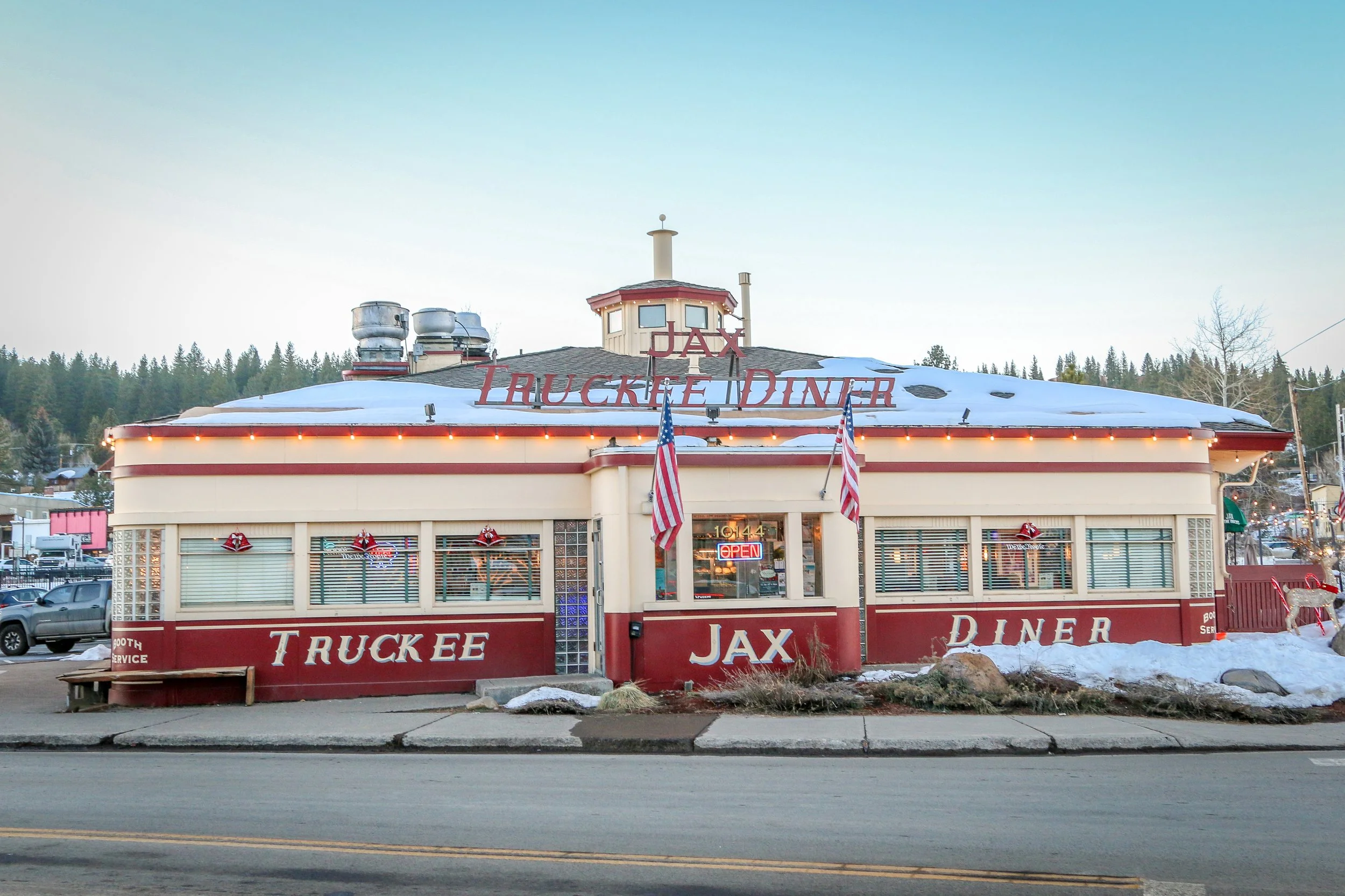
Truckee is an adorable little town nestled in the Sierra Nevada Mountains just over the border into California from Nevada. Originally Paiute Indian land, Truckee gets its name from Chief Truckee who welcomed early settlers and helped them traverse the pass through the Sierras. Among the earliest American emigrant parties to pass through the area was the ill-fated Donner Party who only made it a little ways further up the mountain before getting snowed in by early winter weather in 1846. As more emigrants arrived, a roadhouse sprang up to supply them. Later, the Truckee River gorge would be the route chosen for the transcontinental railroad with Truckee named as a station location, and the town would grow up around it. Truckee was the site of one of the country’s first ski lifts, and skiing is one of the area’s major tourism draws. In the summertime, there are plenty of trails to keep people coming and, with Lake Tahoe just a 25 minute drive away, the town keeps pretty busy year-round. Truckee is a great place to visit with lots of character and some great old buildings. If you’re ever in the area, pop on in for a visit. You may find yourself staying longer than you thought you would. I hope you enjoy these photos from wonderful Truckee, California.
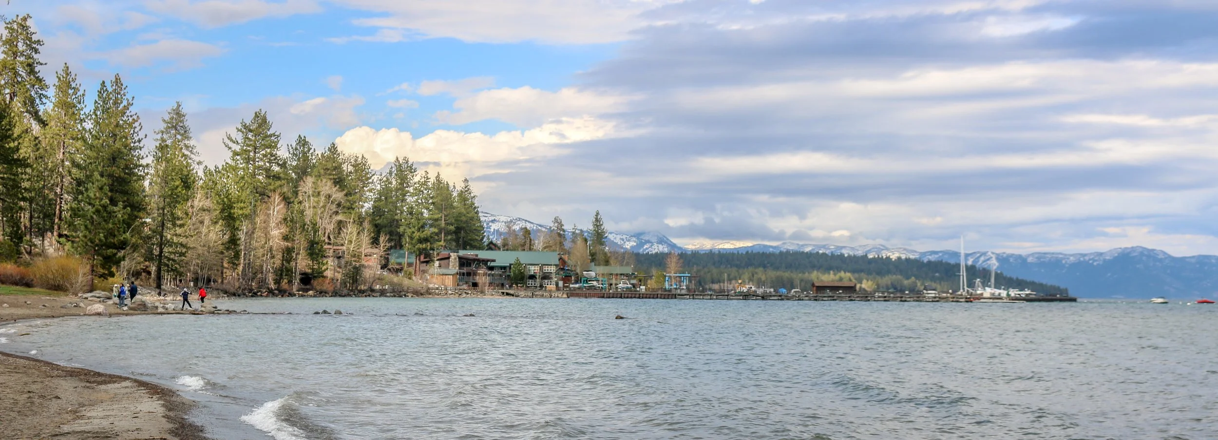
Hello Everyone! It’s been a lovely week here in the greater Lake Tahoe region. The weather has been cold, but also clear and sunny and hard to beat for the middle of January. I’ve spent most of the week catching up with old friends and taking it slow which has been really nice. I did get out for a day on the slopes in South Lake Tahoe while I was here which was awesome and a real treat. It’s about time for me to hit the road again and head out across Nevada, but it’s been a nice break here in the mountains among friends…
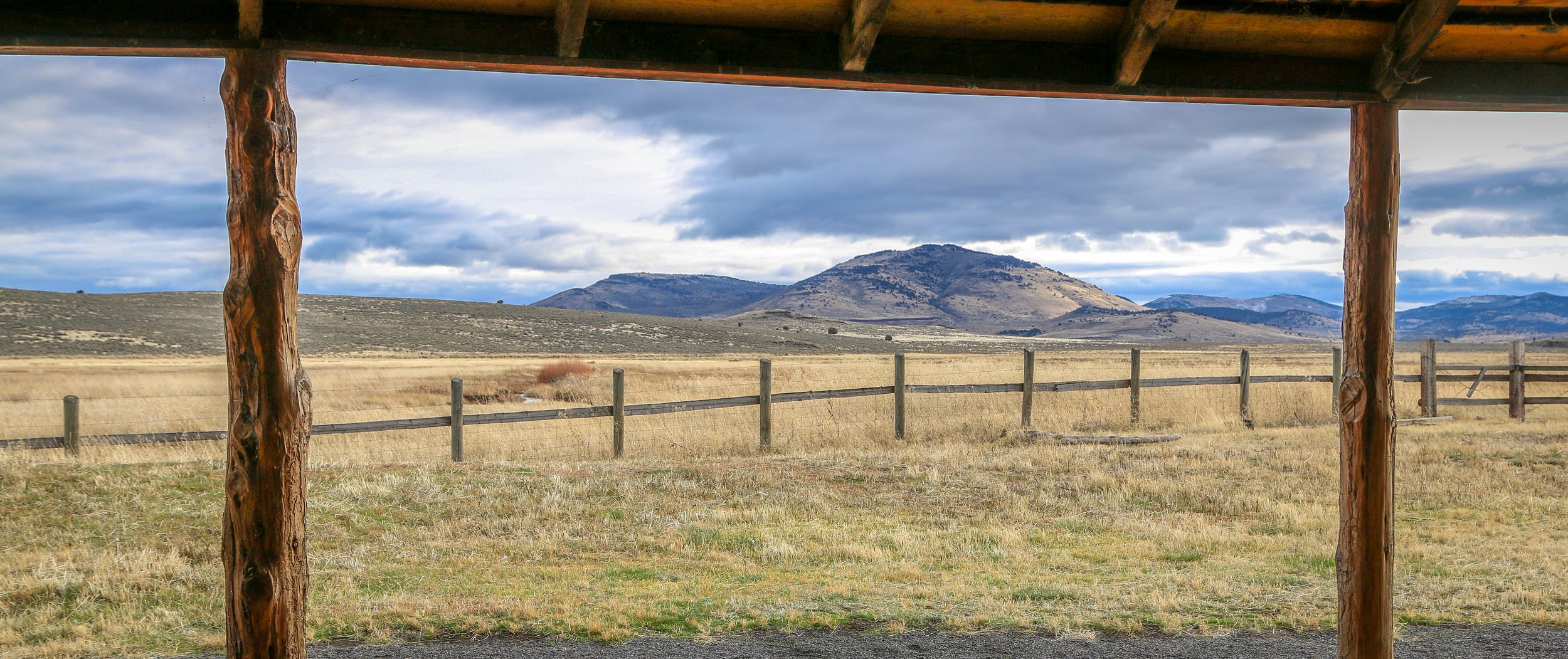
When you say the word “Oregon” to most people, it’s highly unlikely that any of the photos in this post would pop into their heads. Most people picture The Beaver State as a lush, green place full of rivers and waterfalls or maybe the rugged coastline of Western Oregon. But the southeast is an important piece of the puzzle as well. Desert valleys and volcanic craters, snow dusted mountains and rugged frontier towns make up this corner of Oregon and it’s a fascinating place to visit. When I was there I had it almost all to myself. The people of the region are tough and life isn’t necessarily easy out there, but the wide open spaces sure let your soul breathe a little bit. If you ever get the chance, come for a visit. You may find yourself lingering longer than you thought you would. This ain’t Portland and it’s not trying to be. I hope you enjoy these photos from the beautiful southeast of Oregon, a very different side of the Beaver State.
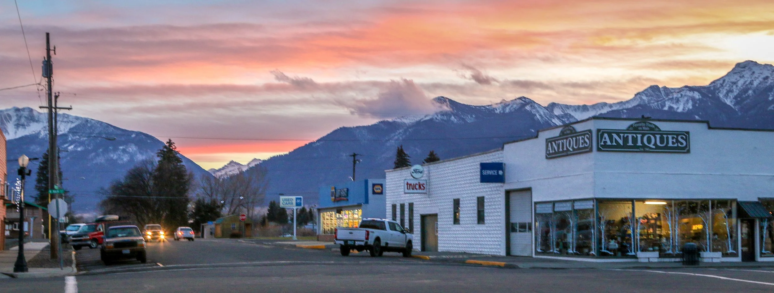
One of the west’s most fascinating historical figures to me has always been Chief Joseph of the Wallowa Nez Perce. Joseph was both a warrior and a peacemaker but ended up in an impossible position in 1877 after a treaty guaranteeing his band’s place in the Wallowa Valley was broken and four white settlers were killed by his people in the aftermath. He fled towards the Canadian border with his band but was overtaken just shy of the border. In the aftermath of what has become known as the Nez Perce War, the Wallowa band was resettled on the Colville Reservation in Washington which I visited late last year. Joseph traveled far and wide speaking on behalf of his people and never gave up hope of returning to his beloved Wallowa Valley. He spoke so fondly of it that I knew I had to go visit the area when I had the opportunity. What I found was a stunning valley, surrounded by mountains and ribboned with rivers and lakes, As soon as I descended into the valley I could see why Chief Joseph was so passionate about it. In addition to being their traditional homeland and the place where their dead are buried, it clearly provided them with everything they would have ever needed.
Nestled in the heart of the Wallowa Valley is the town of Enterprise, an adorable little mountain town founded in 1886 and now home to about 2,000 people. Enterprise is both the county seat of Wallowa County and the main supply town for the region. The railroad arrived in 1908 allowing the Eastern Oregon Lumber Company to form a few years later. Lumber is still a major player in the local economy and, along with the local ranching operations, helps keep the town afloat. I loved the little historic downtown core which is clean and well-kept, and dinner at the Range Rider was also a treat. I thoroughly enjoyed my time in Enterprise and the Wallowa Valley and I hope you enjoy these photos from my visit.
Hello Everyone! It’s been a cold week out here on the road with nighttime temperatures dipping into the single digits. While I’m always prepared for the cold and have plenty of warm clothes and blankets, it’s no fun getting out of bed in the morning. Thankfully it’s also been a week of catching up with old friends and tagging along with them on their adventures so my spirits have been high all week. I started my week in Winnemucca, made my way across the top of the state on Interstate 80 and am finishing my week here in Reno, “The Biggest Little City in the World”.
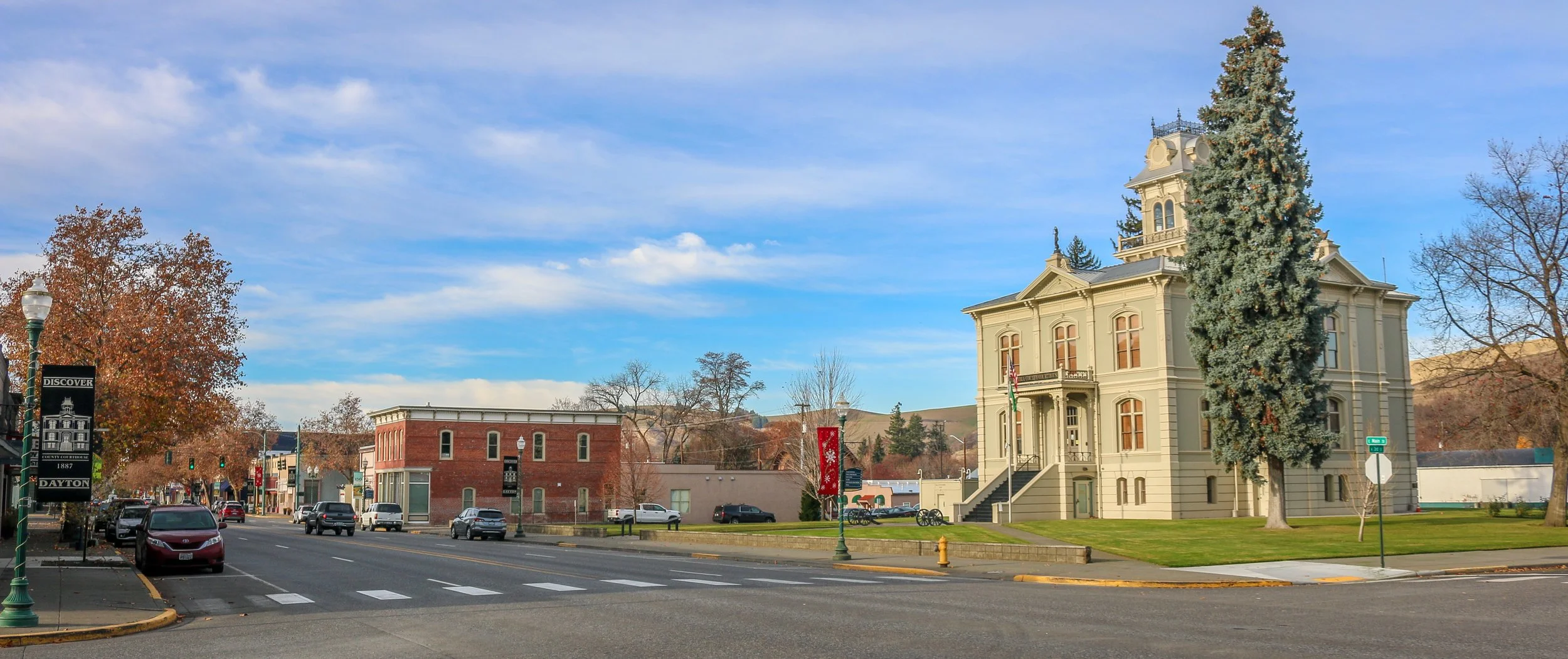
When I drove out to Palouse Falls I knew it was in the middle of nowhere and I knew I would stay until sunset. What I didn’t know is where I would end up for the night. I figured I’d just drive until I found somewhere good. When I pulled into Dayton, I knew I was there. Dayton is the cutest town I found anywhere in the Pacific Northwest. The historic 1881 train depot (Washington’s oldest), the circa 1887 county courthouse, the old schoolhouse and the historic Liberty Theatre are so quintessentially small-town America that they made me smile from ear to ear. The bustling main street with the delightful Moose Creek Bakery and the wonderful Buckwheat Brewery was great too. I think what made me smile the most, though, was their undeniable local spirit. It seemed as though everyone in town was supporting The Bulldogs with hand painted signs in almost every window. I had a wonderful stay in Dayton and lingered longer than I ever would have imagined. I hope you enjoy these pictures of beautiful Dayton, home of The Bulldogs and Washington’s picture perfect small town.
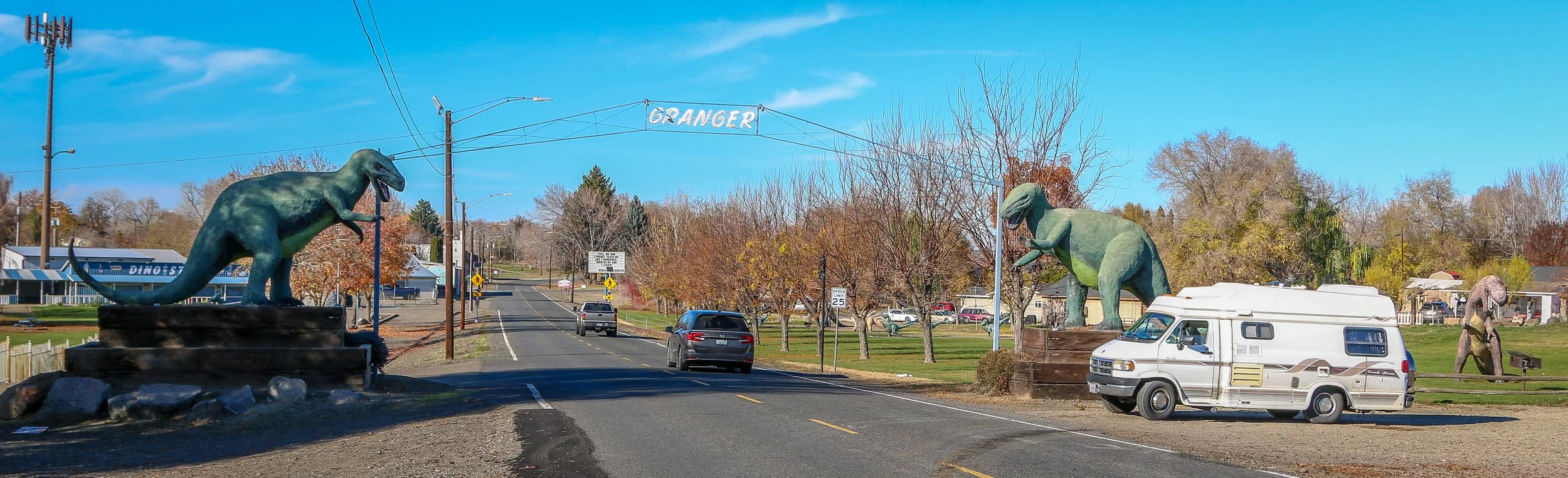
Because when you’re driving in the middle of nowhere and you look to your left and see dozens of dinosaurs roaming through a little town, you just have to stop and take a look. When you’re 100% sure that they’re not moving, you can get out and take some photos. Granger installed its first dinosaur statue in the 1990s in an effort to attract tourism (keeping in mind that Jurassic Park came out in 1993). There are now over 30 dinosaurs around town and Granger hosts their annual DIno-Days each June. I thought it was a fantastic little town and definitely worth a stop. I hope you enjoy these photos from Granger, Washington - The City Where Dinosaurs Roam.
Well, it’s been a pretty quiet week out here on the road. I spent the first part of the week in Boise before heading west back into Oregon on Monday and then south into Nevada yesterday. Today I find myself in Winnemucca, an interesting little town in the north central part of the state. I’ve been traveling through a sparsely populated area so there hasn’t been a lot to see or get into, but I finished my book (The Wide, Wide Sea by Hampton Sides about the last journey of Captain Cook which I highly recommend), got a few walks in and stumbled into some cool little towns. I’ve enjoyed the solitude, the mountainous desert terrain and the peace and quiet…
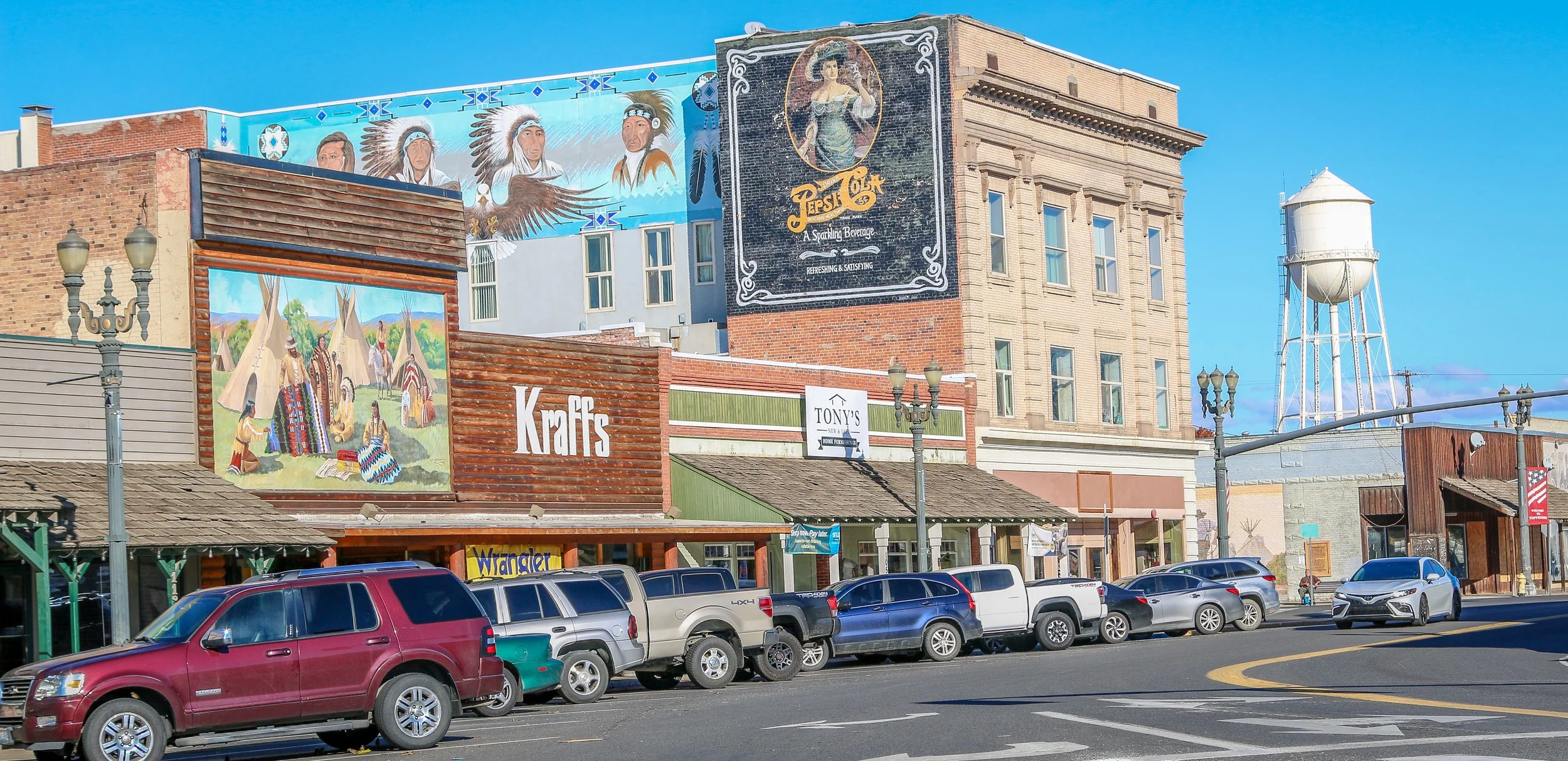
Toppenish is a cute little town with an Old West feel on the Yakama Indian Reservation in Southeast Washington State. It’s home to the wonderful Yakama Nation Cultural Center which was one of the better American Indian museums I’ve visited in the state. You can also find the Northern Pacific Railway Museum and the American Hop Museum which cover two of the main industries in the town’s history (both were sadly closed during my visit). Toppenish gets its name from a Yakama word meaning “landslide”. It is probably most famous for its 75 downtown murals which depict life in the valley between 1840 and 1940. I had a pleasant stay in Toppenish, and was treated to one of the best sunsets I’d seen in months while I was there. I hope you enjoy these photos from Toppenish, a town of museums and murals in Yakima County.