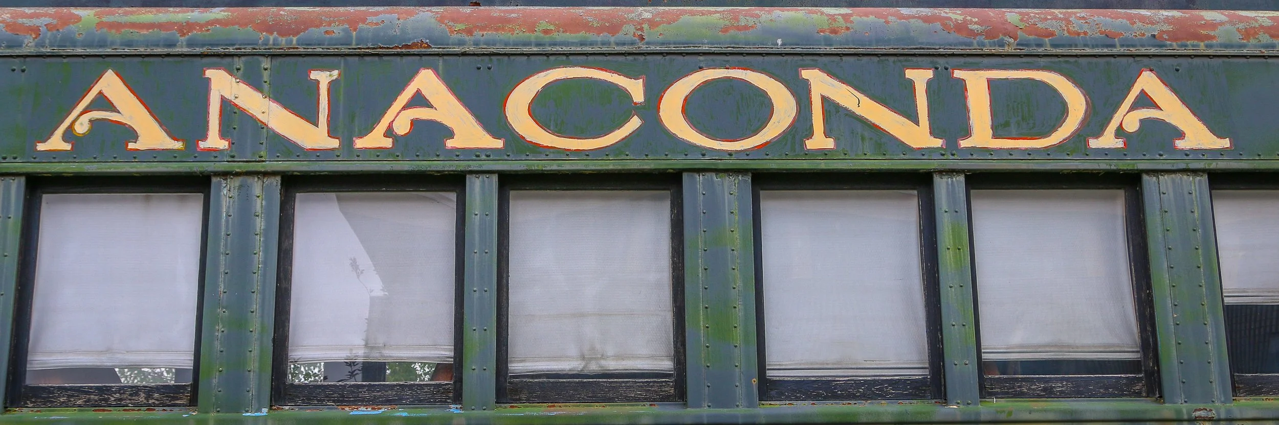
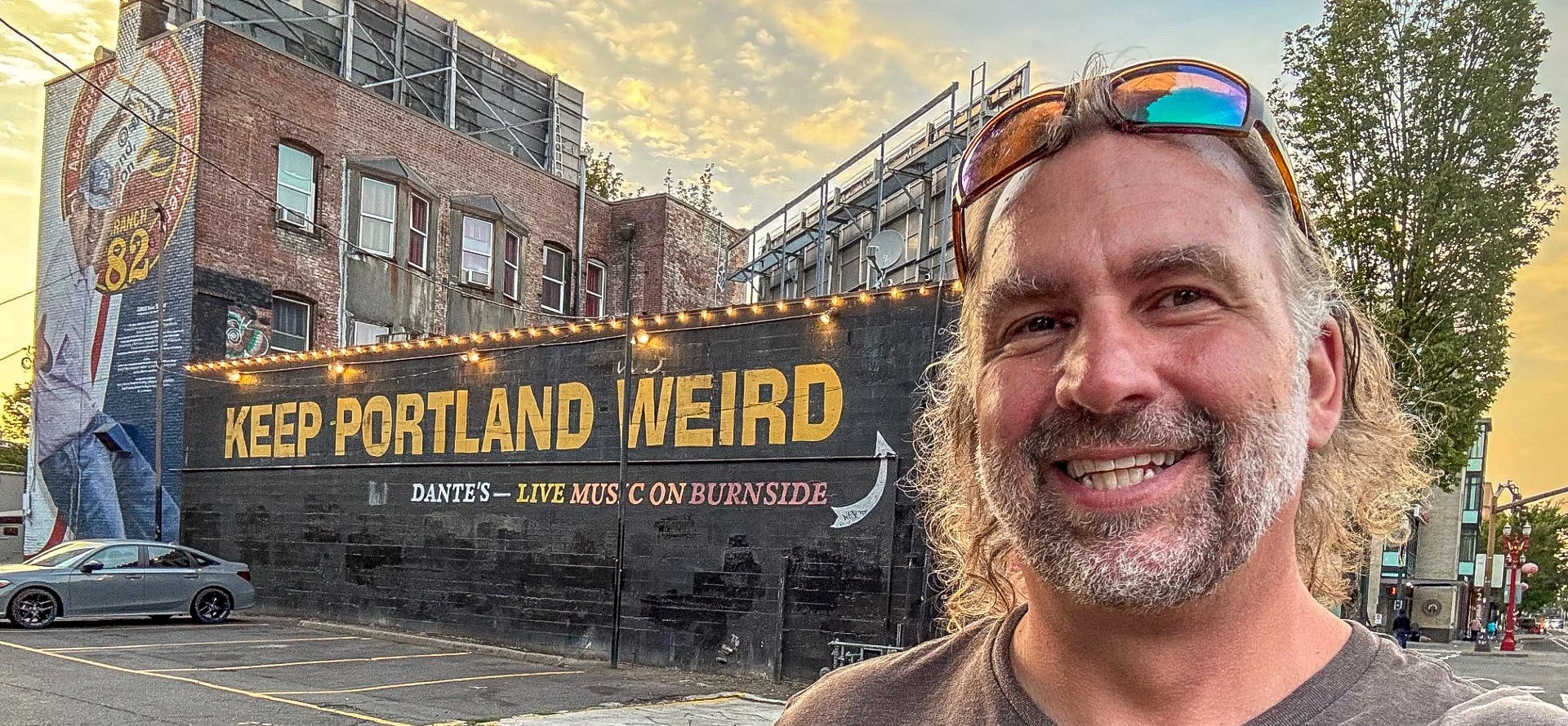
The United States is full of wonderful place names, and Anaconda, Montana is definitely one of the coolest names out there. Anaconda was founded by Copper King Marcus Daly as the location for a copper smelter to process the copper coming from the mines at nearby Butte. A smelter needs water and Butte just didn’t have a dependable enough water source to make one feasible. Daly originally called his town “Copperopolis”, but that name was already taken by another town in Montana so it was changed to Anaconda after the mountain range it is nestled in. When Montana became a state in 1889, Anaconda was in a fierce competition with Helena to become the new state capital, losing by only 2,000 votes.
Anaconda is a charming little city of just under 10,000 people. The locals are friendly and welcoming and the town itself has some really beautiful features. There are some beautiful historic homes west of downtown and some delightful bars and restaurants (don’t miss Gallicano's Pizzeria while you’re there). The Deer Lodge County Courthouse is awesome, and the Washoe Theatre is also not to be missed. I was truly surprised by how great of a town Anaconda is and I’ll definitely be back in the future. I hope you enjoy these photos from beautiful Anaconda, a true diamond in the rough.
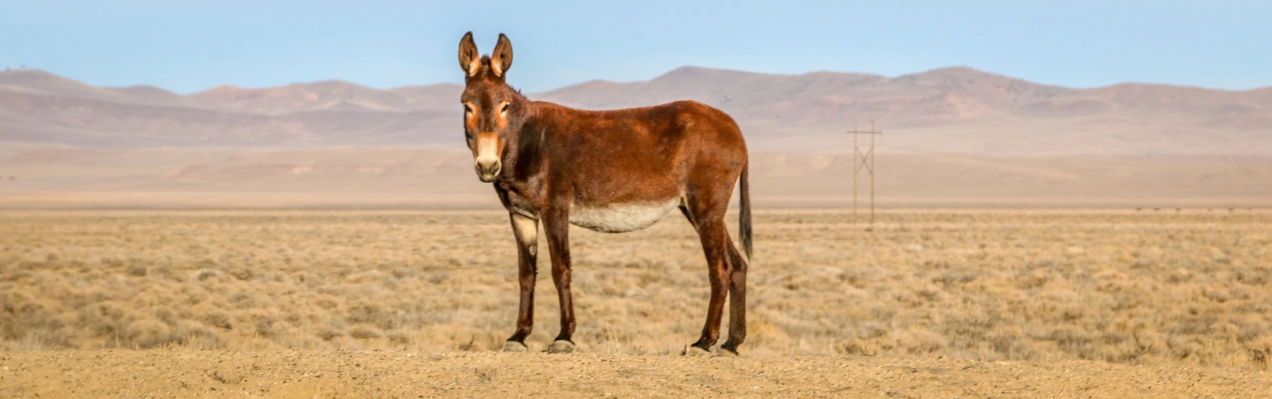
The Lincoln Highway was the original road-tripping route across the country. Dedicated on Halloween, 1913, the Lincoln Highway stretched 3,389 miles from Times Square in New York City to Lincoln Square in San Francisco. It was really the first transcontinental route designed specifically for automobiles and became known as The Main Street Across America. The stretch of the Lincoln Highway that crossed Nevada was planned along a well-trodden path. This route had previously served as a stagecoach route, the main trail for the Pony Express and the transcontinental telegraph also ran along this path. Many years after the highway was built, in 1986, Life magazine called this stretch of road across Nevada “The Loneliest Road in America”, and that wasn’t meant as a compliment. Nevadans, however, loved it and set out to make it a state scenic byway, erecting signs, creating a passport and marketing it to outsiders as The Loneliest Road. It connects fascinating old mining towns like Austin, Ely and Eureka and passes by old Pony Express stations, vast expanses of desert and the ruins of Fort Churchill (now a state park). I’ve made this run across Nevada several times and always really enjoyed it. There’s a lot of history out there and some great bars along the way as well. I hope you enjoy these photos from my time traveling down Nevada’s section of Route 50, The Loneliest Road in America.
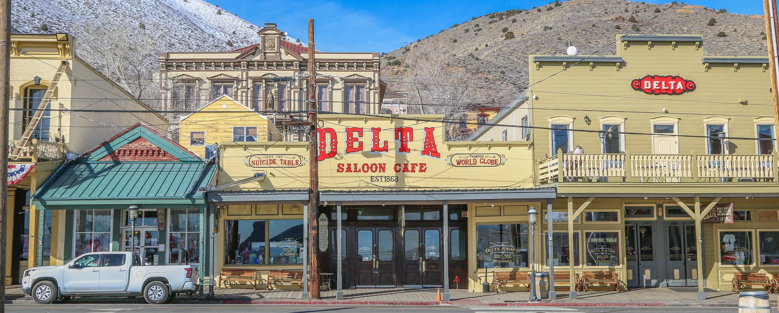
Virginia City, Nevada is one of the coolest Old West mining towns left in the country, and rightfully so as it was once the site of the biggest bonanza in the country’s history. Ten years after the California gold rush brought tens of thousands of people west to find their fortunes, Henry Comstock discovered gold at what would later be called Gold Canyon. The Comstock Lode would bring 25,000 people into the desolate Nevada hills and Virginia City would come to be known at “The Richest Place on Earth”. Because of the tremendous wealth in the area, huge hurdles would be overcome as the town grew, including piping in water from the nearby Sierra Nevada mountains and building a railroad up the steep grade to bring supplies in and out of town. Beautiful churches, mansions, schools and a gorgeous county courthouse were built, along with dozens of saloons, gambling halls and brothels. As a nod to the latter, you’ll notice that the statue of Justice on the courthouse isn’t blind, but instead holds a constant watch over the town. In total, over $400 million dollars worth of gold and silver came out of these hills, equivalent to several billion in today’s money. These riches would filter out of the hills and be responsible for the founding of Reno and for turning San Francisco into the beautiful city it is today. It also helped fund the Union cause during the Civil War, hastening the push for Nevada’s statehood. Nevada’s “Battle Born” motto and designation as the Silver State are both a direct result of the wealth of Virginia City. When the minerals played out, the population dwindled and major fires burned down a lot of what Virginia City once was. Today, nostalgia for the past brings in plenty of tourism and it’s well worth a visit. I hope you enjoy these photos from colorful, historic Virginia City, Nevada a town where the Old West lives on.
Breathtaking beaches, glacier covered mountains and incredible temperate rainforests all wrapped up in one amazing National Park? You must be talking about Olympic. Designates as Mount Olympus National Monument by Theodore Roosevelt, the area officially became Olympic National Park in 1938. Covering a massive 1442 square miles, the National Park covers most of Washington State’s Olympic Peninsula. 95% of the park is designated wilderness, meaning you’re going to have to hike in if you want to really see it.
I have been to Olympic before, but really just to catch the highlights at the Hoh Rainforest, Second Beach, Crescent Lake and Marymere Falls. On this trip I spent almost two weeks in the area and saw so much more of what the park had to offer. I did a four day, three night backpacking trip up the Hoh River Trail to Glacier Meadows and then a three day, two night hike around the High Divide/Seven Lakes Basin Loop, both of which were spectacular. I also visited the Quilault Rainforest, Ruby Beach, and Sol Duc Falls while I was there and stopped into the beautiful park lodges at Quinault Lake and Crescent Lake. The highlight for me was definitely the namesake Mount Olympus, but the quiet nights, the sound of water and the incredible wildlife also made me happy. I hope you enjoy these photos of the magical region of Olympic National Park.
White Salmon is a cute little town up on the hill on the Washington side of the Columbia River Gorge. The area was historically Klickitat territory and was first settled by the Joslyn family in 1852. Cattle farming, timber, salmon fishing and wheat were the early industries in White Salmon, and later fruit farming and tourism would add to the economy. Today, the population rests right around 2500 people. It was the white salmon crosswalks that drew me in and the cute businesses and signs that kept me there. I wasn’t in White Salmon for long, but I really enjoyed my time there and I hope you enjoy this small handful of shots from the town ‘Where the Sun Meets the Rain”.
The Columbia River is the largest river in the Pacific Northwest, and also the most important. It has always served as a trade route from the interior to the coast from the time American Indians paddled their dugout canoes up and down the river to the tall ships of the fur trade to modern trade ships of today. It also has several major dams which provide much needed power to the region and the river also serves as the border between Washington State and Oregon. The incredible waterfalls on the Oregon side bring in tourists by the thousands, but the small towns of the Washington side are friendlier and more livable. It gets hot out there, and it got too hot for me to stay too long and I ended up cutting my visit a little bit shorter than I would have liked, but I still had a great time out there. I hope you enjoy these photos from the beautiful Columbia River Gorge…
Hello Everyone. It’s been kind of a quiet week for me out here on the road. It was Labor Day Weekend here in the United States this week (for my international friends), which is always a busy travel weekend so I thought it would be best to lay low for it. I spent a good bit of this week in Portland, catching up with some friends and exploring the city. Since then, I’ve been cruising up the incredible Columbia River Gorge which is really just outside of Portland but has so much to offer. I’m writing this newsletter this week from Hood River, so I’m as far inland as I’m going to go for now but it has been spectacular and so good to be back out and hiking again. It is definitely noticeably and considerably warmer the further I get from the coast which is why I am headed back towards the Pacific starting tomorrow. I will save the rest of my time in Oregon for later in the year when it has had some time to cool down a bit. While not a particularly busy week, it’s definitely been a good one, so let me tell you what I’ve been up to.
When I left you last week, I was at the wonderful public library in Brookings. From there I was planning to make my way up into the Samuel H. Boardman Scenic Corridor which covers some of the most beautiful coastal scenery in the south of Oregon. Unfortunately the fog just wouldn’t lift that day, so I spent a lot of time hanging around the beach and reading which was also nice. The skies finally cleared to some extent around 6pm so I hustled my way up the coast, pulling off to take a bunch of photos along the way. I wish I had had more time to do it, but it was really magical nonetheless and I had some amazing views. The broad beaches and sea stacks are really something to see and I’m really glad I got a little bit of sun to take some photos with. In the end, I only made it as far north as Gold Beach before it got dark, but it was a lovely evening…
Hello Everyone! I hope this post finds you all well. I am safely back at home in Washington D.C. after my tour season finished last week. It’s nice to be here with my family and friends and I’m catching up on some rest and some quiet time. I know I promised you these photos a couple of months ago, but things got really crazy at the end of my season, plus I was pretty tired from such a busy summer. But here are the rest of my photos from my time in Alaska this summer. I hope to get a couple of more little photo essays done in the next couple of weeks and get a proper update written and hopefully share some of my photos from my last trips in California and the one I’ve just returned from in the Deep South, but it’s Wednesday night and I want this to get this out on Thursday so I’m going to keep it short and sweet today. I hope you all had a wonderful Thanksgiving and I promise I’ll be back with you real soon. Thanks, as always, for reading.
Hello Everyone,
It’s been another busy week here in Southern California. I spent half of the week out on Santa Cruz Island in Channel Islands National Park which was an absolutely wonderful experience. When I returned to the mainland, I made my way south to Los Angeles and have been here since, catching up with old friends and visiting some old haunts and some new places as well. I haven’t traveled far this week, so this probably won’t be a particularly long post, but it’s been nice to get some hiking in and the sun is finally shining again.
Last Wednesday, I packed up my backpack and hopped on The Islander in Ventura for the one our crossing to Scorpion Ranch on Santa Cruz Island. The water was rough, but it wasn’t too bad and thankfully it wasn’t a long voyage. When we arrived, we met briefly with the ranger and then headed off to set up camp. It had been raining all night and most of the morning, but the sun was out and it’s always easier to set up a tent in the sun than in the rain. The campground was pretty soggy and we had been warned about branches falling from the eucalyptus trees, so choosing a good spot to set up was essential. After getting my tent up and ready, I decided to use whatever sunshine was left to hike up to the Potato Harbor overlook. This was only about a 4 mile round-trip hike, but it was really muddy on the trail. The mud had a high clay content too, so it stuck to my shoes and it caked on so thick that it looked like I was wearing snowshoes. I made it to the overlook which was absolutely stunning and on the way there I saw several endemic Santa Cruz grey foxes. These foxes have evolved to be much smaller than their mainland cousins, and growing up on an island with no predators, they’re also very friendly. I loved watching them wander around the island and found they made me smile every time I saw them.
After having my lunch at the overlook, I could see the rain coming towards me across the ocean so I started to make my way back to camp. Unfortunately the rain caught up with me before I got there, but worse it turned the clay trail into a slick downhill path. I almost made it back to camp without falling. In fact, I could see the campground from where I fell, but my feet just went out from under me and I landed pretty hard on my shoulder. While I didn’t do any damage and didn’t even get a bruise, it hurt for a few days and I didn’t have any pain killers with me in my pack. I wasn’t happy about it, but it could’ve been worse, too. I headed back to my tent and caught a nap while the rain kept pounding down. It eased up in the evening and hasn’t been back since. That night I ate the first freeze-dried meal I’ve had in many years. When I was a teenager, I spent two summers working at a Boy Scout backpacking camp in Virginia and we ate freeze dried food most of the time. It’s come a long way since I tried it last and I must admit that it was actually pretty tasty. After dinner, the sun went down and there wasn’t much to do so I slipped into my tent and called it an early night…
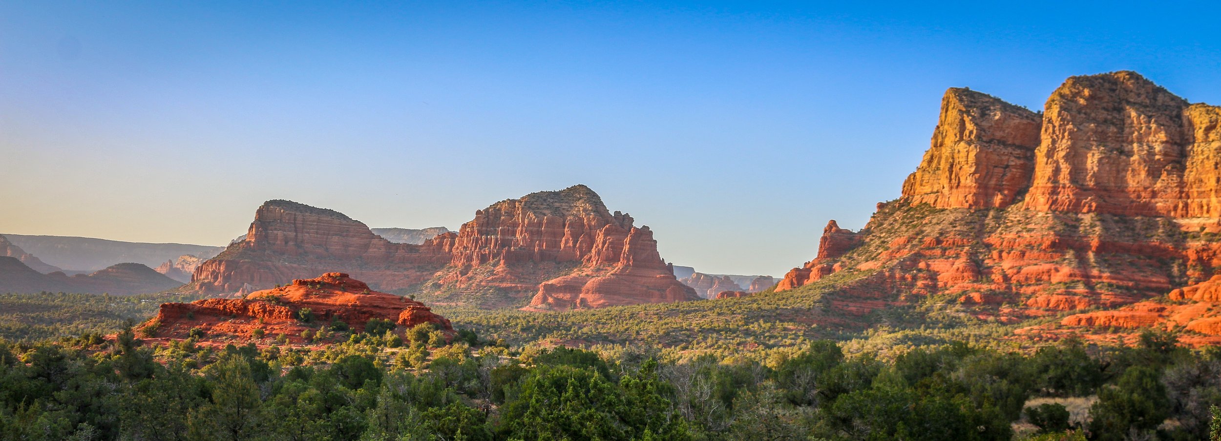
I had spent time in Sedona before, but never enough. I was always there for just a night, usually late in a tour where we didn’t have much time to do more than have a cursory look around. The cost and snobby attitudes of the locals with their spiritual vortex talk was always a turn-off for me. I had never had the chance to really get out there and do some hiking before, but I’m sure glad I scheduled a few days for it on this trip. I’ve been to a lot of places in this country, but few can compare to the red rock country surrounding Sedona. I don’t know about vortexes, but it is definitely a beautiful and magical place. Like most of red rock country, it’s best to hit the trail very early in the morning or just as the sun is starting to go down. While I was there, I hiked to the Birthing Cave, the Subway, Devil’s Bridge, the Courthouse and Bell and, my personal favorite, the Airport Loop. With the exception of this last one, which I had all to myself, there was no shortage of people in the area. It’s definitely not a secret place, nor is it off the beaten path, but it’s well worth it to visit and the shear number of trails in the area helps to disperse people pretty well. I had a wonderful few days in Sedona and will definitely be back. I hope you enjoy these photos from beautiful Sedona, Arizona, a true hikers’ paradise.
I’ve spent a fair bit of time in Tombstone in my life. It was always a stop on my company’s cross-country winter trips, of which I ran many. But it was always a quick stop as we usually arrived late in the short winter day and left early the following morning, but my groups and I always enjoyed the old-west feel of the place, the dirt streets, the wooden sidewalks and having a few beers at Big Nose Kate’s Saloon. It was nice for me to get back this past winter after several years and have a little more time to spend there.
Tombstone is an old silver mining town, founded in 1877, and produced somewhere between $40 million and $85 million worth of silver bullion. During Tombstone’s heyday in the mid-1880s, the town boasted a population of 14,000 and was home to 110 saloons, two churches, three newspapers and a bowling alley. It was named the county seat of Cochise County, a designation it held until 1929. A fire in 1886 destroyed the mine’s central hoist and pumping plant and it was decided that with the productivity of the mines at that point, they weren’t worth rebuilding. The population would dwindle until tourists started to take an interest in the old west and come to have a look for themselves.
Tombstone is probably best known for the legendary shootout at the O.K. Corral between the Earp brothers and Doc Holiday and a group of cattle rustlers known as The Cowboys on October 26th, 1881.